

Professor Kazimierz Becek shares on Remote Sensing Technologies
UBD School of Digital Science Seminar Series

Professor Kazimierz Becek of Wroclaw University of Science and Technology visited the School of Digital Science from 10 to 30 July 2023. During his visit, he gave several talks and conducted a Postgraduate research discussion session. He also met with various research teams to discuss on remote sensing research. The talk details and the photos of these events are as follows:
13 July 2023, APB Mini Theatre
Searching for treasures in the lidar data
Light Detection and Ranging, or LiDAR for short, is the laser-based surveying technology for obtaining precise 3D coordinates of objects in space. The LiDAR survey can be conducted from ground, air and space, which makes this technology available for studying phenomena at local to global scales. Besides the coordinates, a few additional variables, including the intensity, echo, scanning angle and time, are recorded simultaneously. These variables significantly enrich the information content of LiDAR data particularly useful for studying complex vegetation ecosystems. This presentation will demonstrate and suggest how LiDAR can be used to monitor hidden treasures of the pristine forest of Brunei Darussalam. Most of the ideas presented are original and still waiting to be investigated.
Exploring the potential of UAV
Unmanned Aerial Vehicles (UAVs) can be described as near-ground satellite systems because they are, like satellites, unmanned payload carriers only. UAVs can be equipped with various sensors for capturing environmental data. The presentation will provide information on various deployments of UAVs to mission-critical data capture beyond classic visual monitoring. In view of the author, there is significant scope for innovative use of UAVs for collecting environmental data using various sensors, including LiDAR, temperature, air pressure, CO2, CH4 and others. The very small size of UAVs and reasonable costs allows deployment of the "flying tripods" even in the dense rainforests of Brunei Darussalam.


27th July 2023
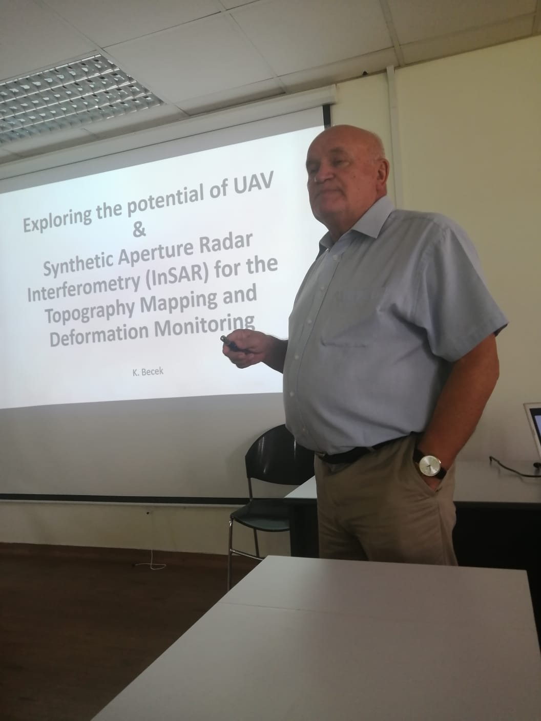
Synthetic Aperture Radar Interferometry (InSAR) for the Topography Mapping and Topography Deformation Monitoring
InSAR is a technology for the measurement of the earth's topography that has been used to develop semi-global digital elevation models, including the Shuttle Radar Topography Mission elevation product or SRTM for short. Besides this fundamental achievement, InSAR has been successfully used for monitoring land deformations or alternations of the millimetre scale. The talk will outline the principles of the InSAR technology; its relation to the LiDAR technology and demonstrate examples of applications in modelling topography, AGB estimation and land subsidence, including the KB area, resulting from the oil and gas extraction. A part of the talk will also cover the application of drone technology for gathering environmental data.
—
Universiti Brunei Darussalam
Jalan Tungku Link, BE1410
Negara Brunei Darussalam
office.sds@ubd.edu.bn